

History
Where the old road still whispers.
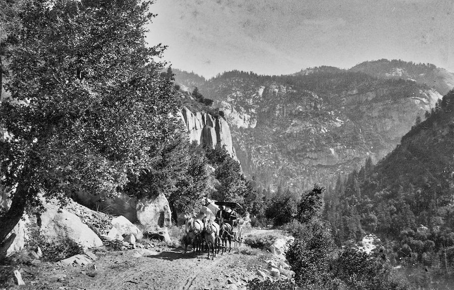
Stagecoach on the Coulterville Road, ca. 1875. Yosemite NP Archives RL_18108.
Mariposa Highlands sits high on Penon Blanco Peak. The name comes from the Spanish Peñón Blanco, "white rock," for the quartz that runs through these hills. Here is the story of this corner of the foothills, as far as the records can tell it.
- The name
"White rock"
In Spanish, Peñón Blanco means "white rock." The name comes from the white quartz that runs through these hills. Gold is often found in quartz, which is why the miners came. Penon Blanco Road is built on that white quartz: look along the edges of the road, or where the base rock shows through worn asphalt, and you can still see it.
- 1849
A Mexican and Chilean gold camp
During the California Gold Rush, Mexican and Chilean miners started a gold camp here called Penon Blanco. A historical marker near the old camp says California's Foreign Miners Tax of 1852 caused the camp to be abandoned.
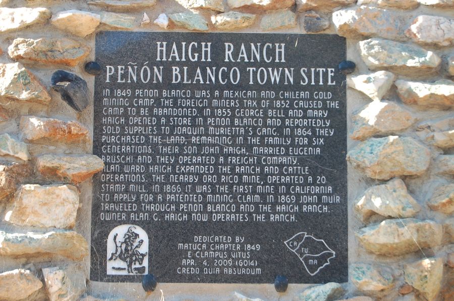
The Penon Blanco Town Site marker at neighboring Haigh Ranch, near Penon Blanco Road and Highway 49, Placed 2009; photographed Aug. 18, 2011. Photo: Barry Swackhamer, via The Historical Marker Database (hmdb.org). 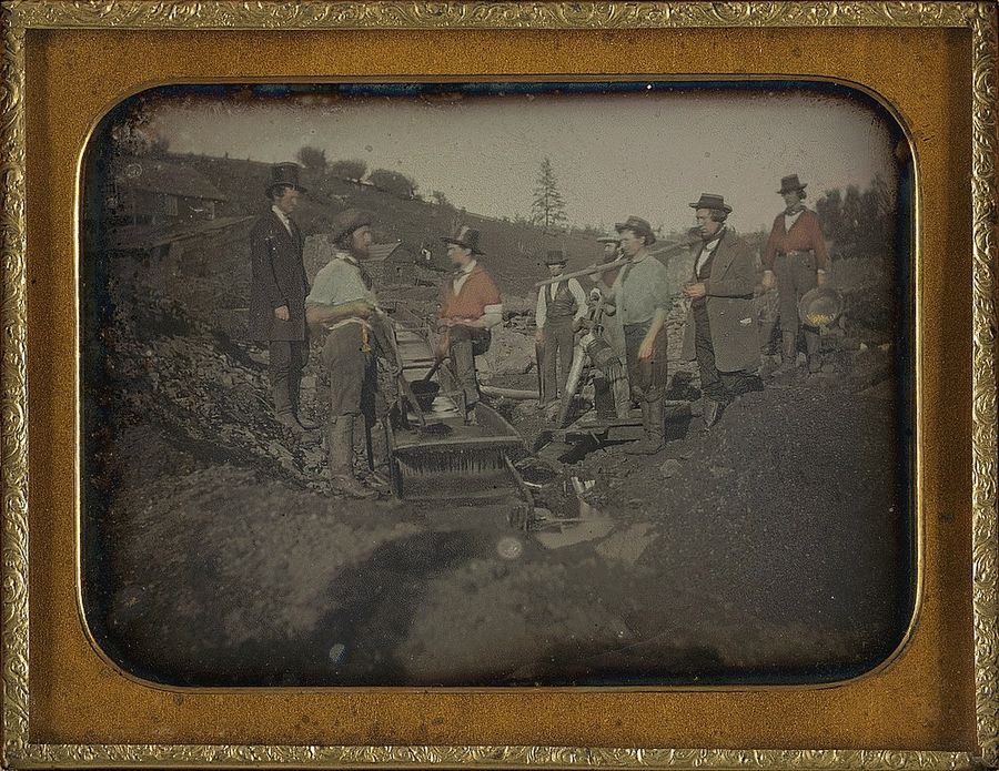
Gold miners with a long tom, ca. 1850–52. Daguerreotype by George H. Johnson. Nelson-Atkins Museum of Art. Public domain, via Wikimedia Commons. 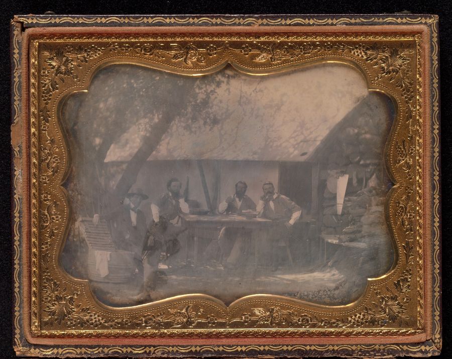
Four gold miners at their house, ca. 1852. Daguerreotype, photographer unknown. The Metropolitan Museum of Art, Open Access (CC0). - 1866
The Oro Rico Mine
A historical marker placed by E Clampus Vitus says the nearby Oro Rico Mine was the first mine in California to apply for a patented mining claim, in 1866. A patented claim is one where the government gives the miner full ownership of the land.
- 1869
John Muir passes through
In June 1869, a young John Muir walked into the Sierra with a flock of sheep, the journey he later wrote about in My First Summer in the Sierra. His route passed through Penon Blanco, and researchers who followed it believe he came along what is now Penon Blanco Road. In the book, Muir writes that on June 5, 1869, from the first bench of the mountain here, he saw the Horseshoe Bend of the Merced River and "made hurried notes and a sketch." The book includes his drawing, Horseshoe Bend, Merced River.
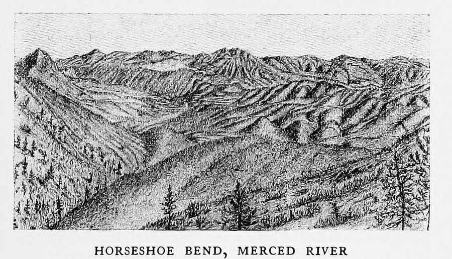
Horseshoe Bend, Merced River, June 5, 1869. Sketch by John Muir, from My First Summer in the Sierra (1911). Public domain. Scan: Cornell University Library, via Internet Archive. 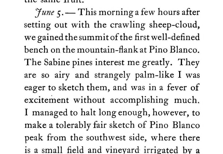
Muir's journal for June 5, 1869, Published 1911. John Muir, My First Summer in the Sierra (1911), p. 16. Public domain. Scan: Cornell University Library, via Internet Archive. - June 17, 1874
The first stagecoach road into Yosemite Valley
In the early 1870s, foothill towns raced to build the first road for stagecoaches into Yosemite Valley. Coulterville won: the Coulterville Road reached the valley floor first, on June 17, 1874. Just 29 days later, a rival road from Big Oak Flat opened to the north, on the route that became today's Hwy 120. Over time traffic moved north, and our corner of the hills became quiet. We call Penon Blanco Road one of the lost roads to Yosemite.
- 1870s
A rest stop before the climb
Penon Blanco Road was once a shortcut from Don Pedro Bar toward Big Oak Flat that skipped Coulterville. Travelers by horse and carriage stopped overnight at the bottom of our property, where a barn still stands, to rest before the climb. Extra horses waited there to help pull carriages up the steep grade to the top, where our cabins are today. That steep climb is what gives the land its views.
- 1936
The fire lookout on the peak
The Civilian Conservation Corps built a fire lookout at the top of Penon Blanco Peak in 1936. It is a CAL FIRE facility and the structure itself isn't open, but you can hike to the peak from our property, get close, and take in an incredible view.
- 1967
Dam workers on the hillside
Work on New Don Pedro Dam, on the Tuolumne River, began in 1967 and finished in 1971. During those years some of the people working on the dam lived here on the hillside, in Spartan trailers that stayed for decades. Our Airstreams are a nod to them.
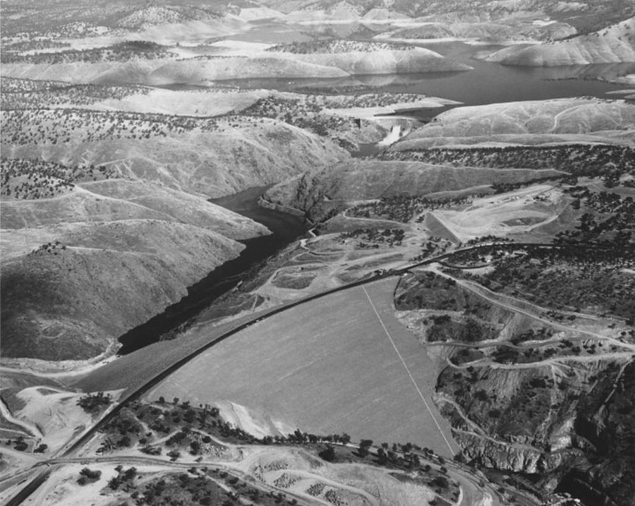
Don Pedro dams, old and new, November 2, 1970. Photo: Manuel Dias. CSU Stanislaus Library, Special Collections. © the copyright holders.
More from the archive
Oldest first. Swipe or use the arrows.
Today
Today we are a family that loves the whole adventure, not just the destination. We live in Santa Cruz and come here to unwind, as we have since we started a wakeboard camp on Lake McClure in 2002. A ranch takes a lot of care, and we cannot be here all the time, so we are sharing this gem with you. We would love for you to slow down here, watch the sun set over the valley, and hear the stories these hills still tell. For a walk through this history with directions and tips, see Gold Rush and the lost road.
Sources: historical markers, county histories and published accounts; photo credits are under each image. See the Gold Rush and the lost road guide. Written by the Mariposa Highlands family.